Mapping and earth observation
Analyse satellite imagery on your own machine with Hiri Desktop. Draw, edit and share vector map data with your team in Hiri Studio. No licence fees, nothing to set up first.
Hiri Desktop is free for Windows. The macOS version is not released yet. Hiri Studio runs in the browser.
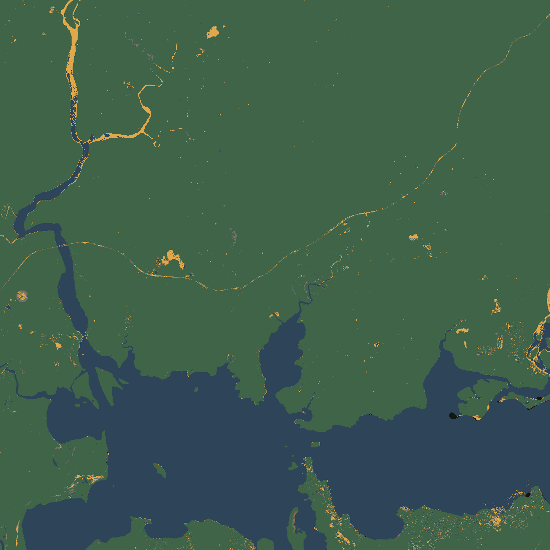
Land cover
Three quarters vegetation, a fifth water, and 557 hectares built-up.
- Water
- 11,121 ha
- 23.1%
- Vegetation
- 35,992 ha
- 74.7%
- Built-up
- 557 ha
- 1.2%
- Bare soil
- 92 ha
- 0.2%
- Mixed
- 442 ha
- 0.9%
- Source
S2B_56HMJ_20240906_0_L2A, 6 September 2024, 0.02% cloud, 0% missing
Fast raster analysis on your own machine
Nine guided analyses over satellite imagery and elevation it fetches for you. The analysis runs on your own machine and your rasters stay there.
- Pick an area, fill in a short form and press Run. There is nothing to download or reproject first.
- Every result carries the source scenes, parameters and limitations that produced it.
- Exports GeoTIFF and GeoJSON for QGIS and ArcGIS, and charts as PNG or SVG for a document.
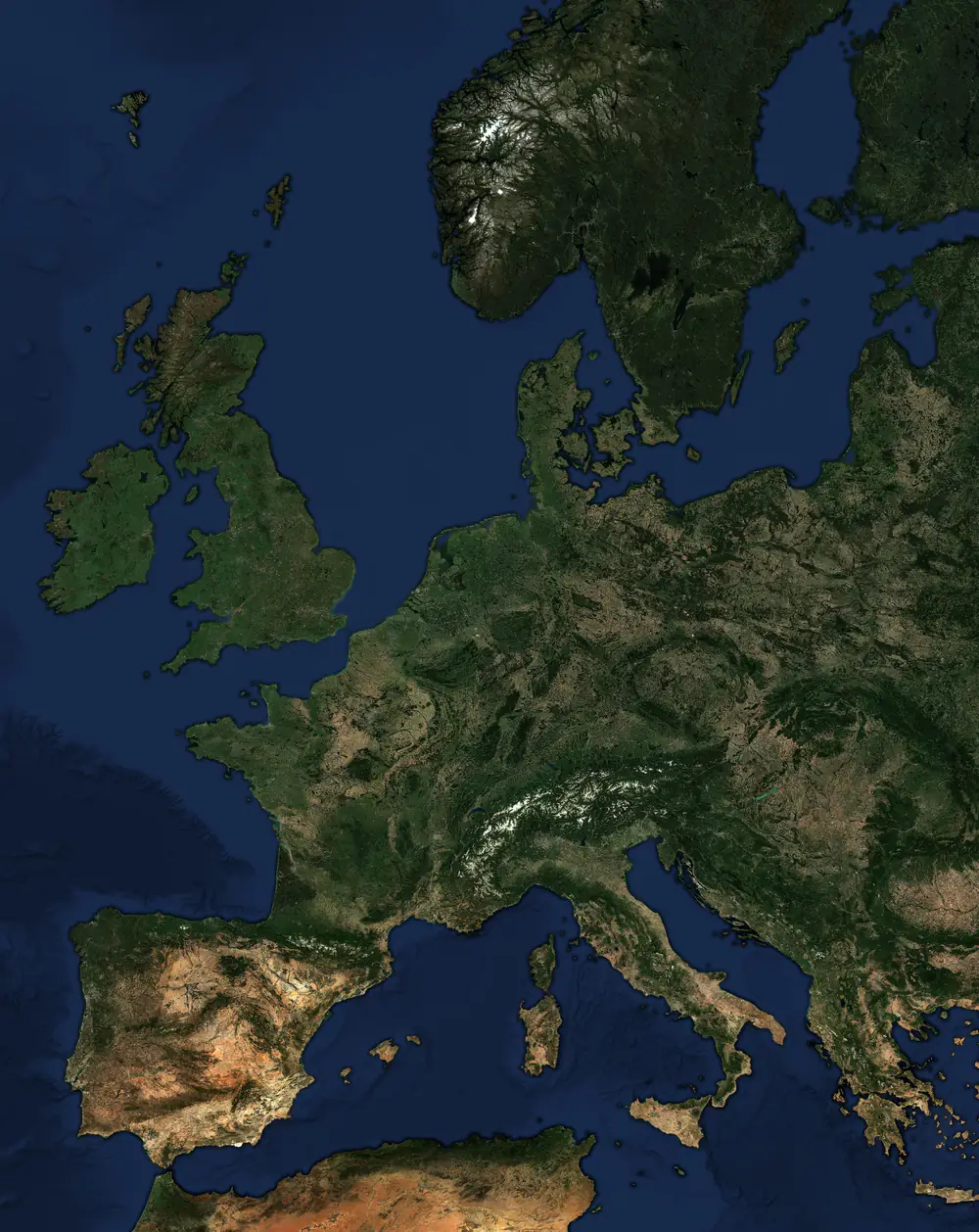 802 m/px at 49°N
Map data your whole team can work on
Draw and edit vector data in the browser, style it by property and share collections with your team.
- Points, lines, polygons, rectangles and three kinds of circle.
- GeoJSON, KML, Shapefile, FlatGeobuf, CSV and more, in and out, from a file, a URL or pasted text.
- Storage and API limits are counted per organisation, not per seat.
What one run produces
A land-cover analysis over 482 km², exactly as Hiri Desktop returns it: a classified raster, the hectares in each class, the scene it was computed from, and what the method cannot separate.
5 kmThree quarters vegetation, a fifth water, and 557 hectares built-up.
- Water
- 11,121 ha
- 23.1%
- Vegetation
- 35,992 ha
- 74.7%
- Built-up
- 557 ha
- 1.2%
- Bare soil
- 92 ha
- 0.2%
- Mixed
- 442 ha
- 0.9%
- Source
- Sentinel-2 L2A scene
S2B_56HMJ_20240906_0_L2A, 6 September 2024, 0.02% cloud, 0% missing. Cloud and shadow masked with the scene classification. Index thresholds: MNDWI > 0, NDVI > 0.3, NDBI > 0 with NDVI < 0.2, first match wins. - Limitations
- Built-up and bare soil are separated only by test order and an NDVI ceiling. NDBI does not distinguish them, so cleared ground, quarries and dry earth can be counted as built-up.
- The thresholds are conventions for temperate imagery, not constants. Miscalibrated thresholds produce a complete, plausible map of the wrong classes.
- A single-date snapshot classified pixel by pixel, with no spatial smoothing and no minimum mapping unit, so isolated pixels of a class are expected.
- Not validated against ground truth. The class areas are what the method reports, not a measurement anyone has checked.
Built for planning evidence and environmental reporting
Urban planning
Built-up change and green space per resident, for infrastructure decisions and public consultation.
Conservation
Vegetation extent, surface water and growing-season timing, compared between two dates over the same area.
Hazard and recovery
Burn severity after a fire and water extent after a flood, classified against published thresholds.
Property and siting
Terrain, slope and surrounding land cover for a site, without a GIS department.
What it costs
Hiri Desktop is free. Studio has a free tier, and its storage and API figures are counted per organisation rather than per seat, so a plan does not get more expensive as your team grows.
Hiri Desktop
The full analysis engine, installed on your own machine.- All nine analyses, no run limit
- All 15 raster operations
- Your rasters and results stay on your disk
Studio Free
For individuals and small projects.- Up to 50 maps
- 500 MB storage
- 1,000 API calls per month
Studio Team
For teams working in the same data.- Unlimited maps
- Full API access
- Team workspaces
Common questions
What is the difference between Hiri Desktop and Hiri Studio?
Desktop is a free installable application for raster analysis. It downloads satellite imagery itself and computes results on your machine. Studio is a browser workspace for vector data: drawing, importing, organising and sharing maps with your team.
Does anything leave my machine?
Hiri Desktop fetches public imagery and boundary data, and every analysis runs locally, so your rasters and results stay on your own disk. Studio is a cloud product, so data you put in Studio is stored in your account.
Which operating systems does Hiri Desktop run on?
Windows 10 and 11 on x64. It installs per user, so no administrator rights are needed. The macOS version, for Apple Silicon, is not released yet. There is no Linux build.
Do I need GIS software or Python?
No. The analysis runtime is bundled with Hiri Desktop, so there is no GIS software, Python or geospatial library to install. Its layers open in QGIS and ArcGIS when you need them there.
Does the Studio free tier need a card?
No. It covers up to 50 maps, 500 MB of storage and 1,000 API calls a month, and needs no card.
Start with the free one. There is no limit on what you run.
Hiri Desktop runs its analyses on your own machine, as many as you like, and its rasters and results stay on your disk. Studio keeps your maps for your team, so what you put in it is stored in your account.
- Card
- Neither
- Run limit
- None
- Analysis runs
- On your machine
- Your data leaves it
- Studio only